California has some of my favourite wilderness areas in the world, with unparalleled diversity from coast to alpine and desert to montane. There are 150 wilderness areas that cover nearly 15 million acres—roughly 15 percent of the state! We were now on a mission to explore a few of the top ones.
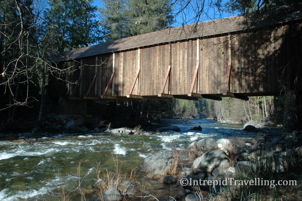
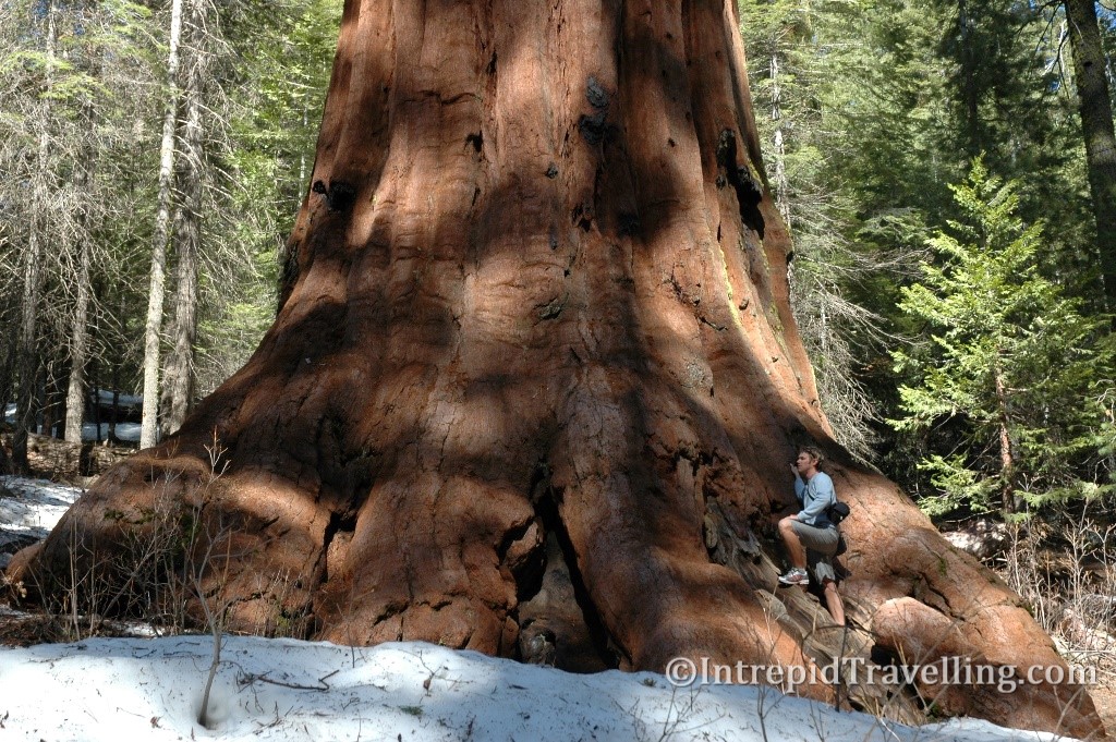
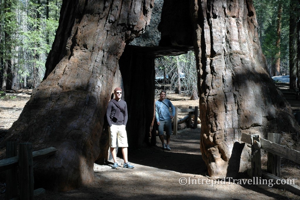
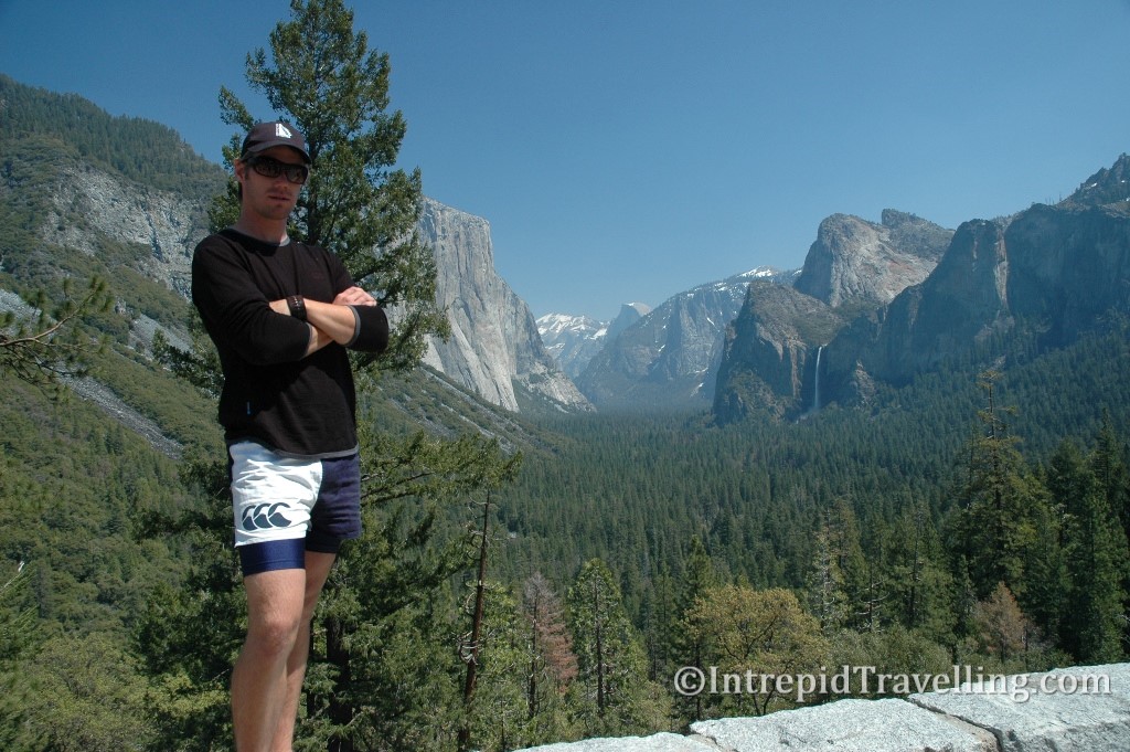
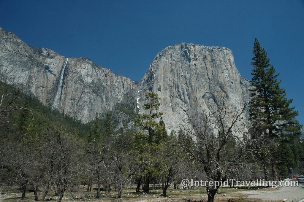
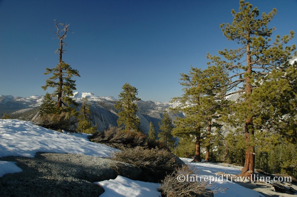
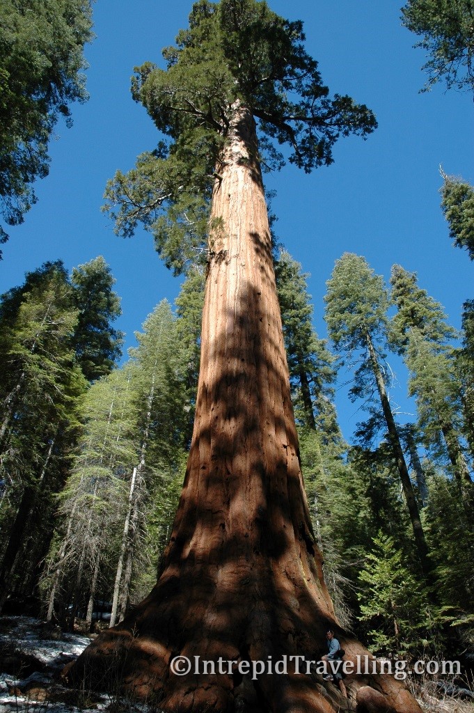
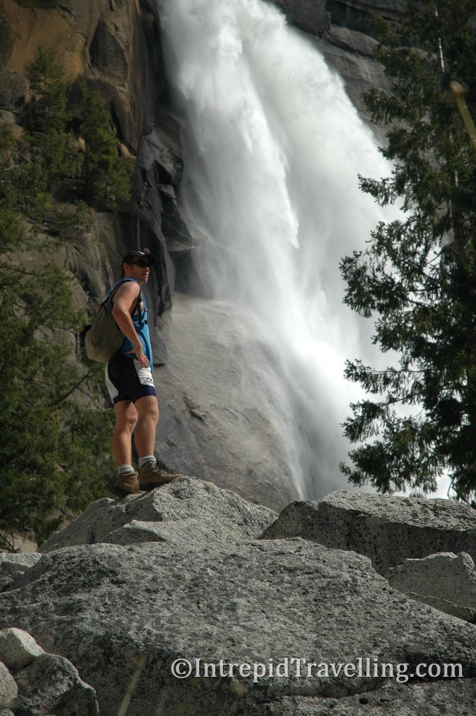
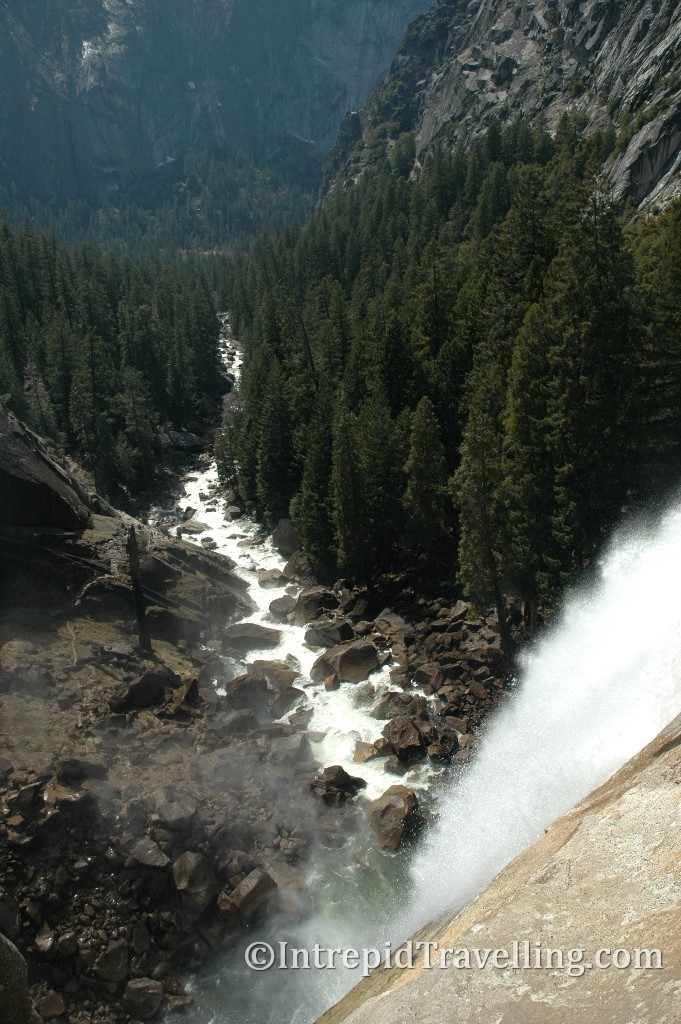
From San Francisco we would continue our adventure with a four hour drive to Yosemite National Park, arriving just before dark and spending our first night in the Dodge at the Wawona car park; perfectly placed for an early start for a day of exploration. Some of the highlights from our time in Yosemite National Park were the unique Wawona Covered Bridge, Mariposa Groove, the spectacular view of tunnel viewpoint and the drive along the Valley floor (to see El Captain and the Waterfalls).
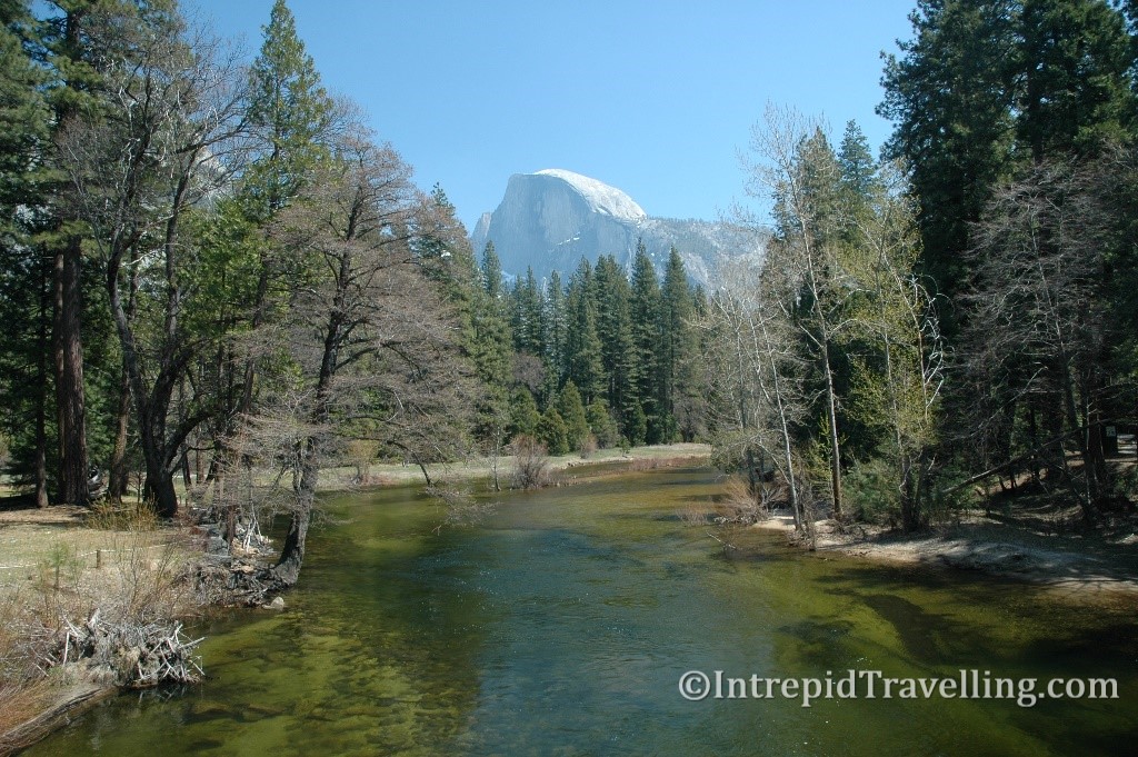
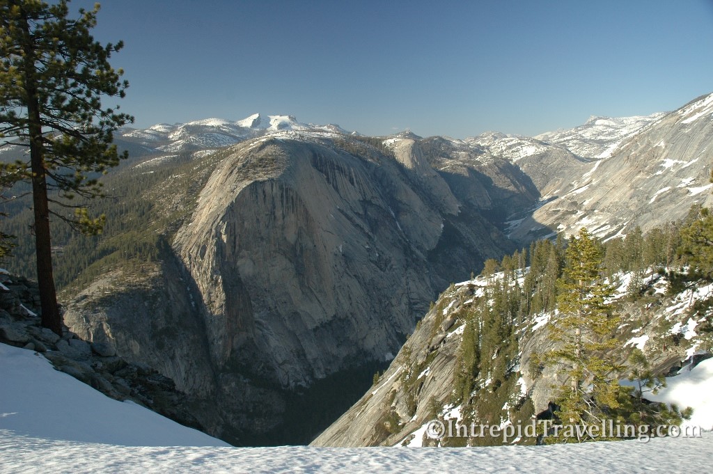
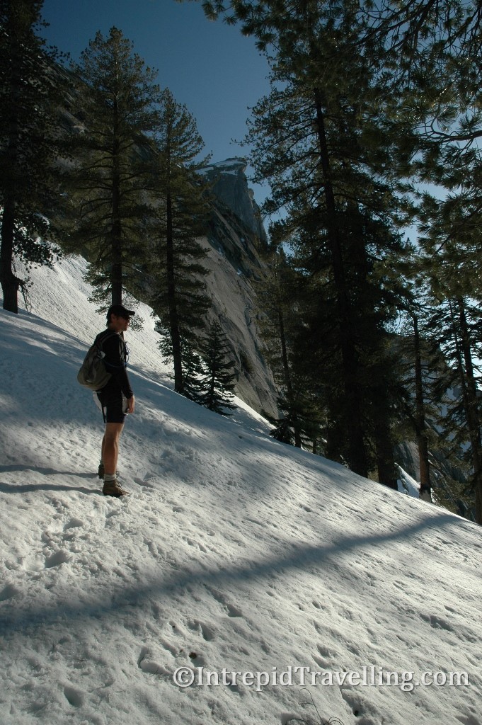
If you have a spare day while in Yosemite I’d highly recommend the hike up the John Muir Trail to the base of the iconic Half Dome; one of the large granite outcrops which the park is famous for. On a later trip to Yosemite we would reach the summit of Half Dome.
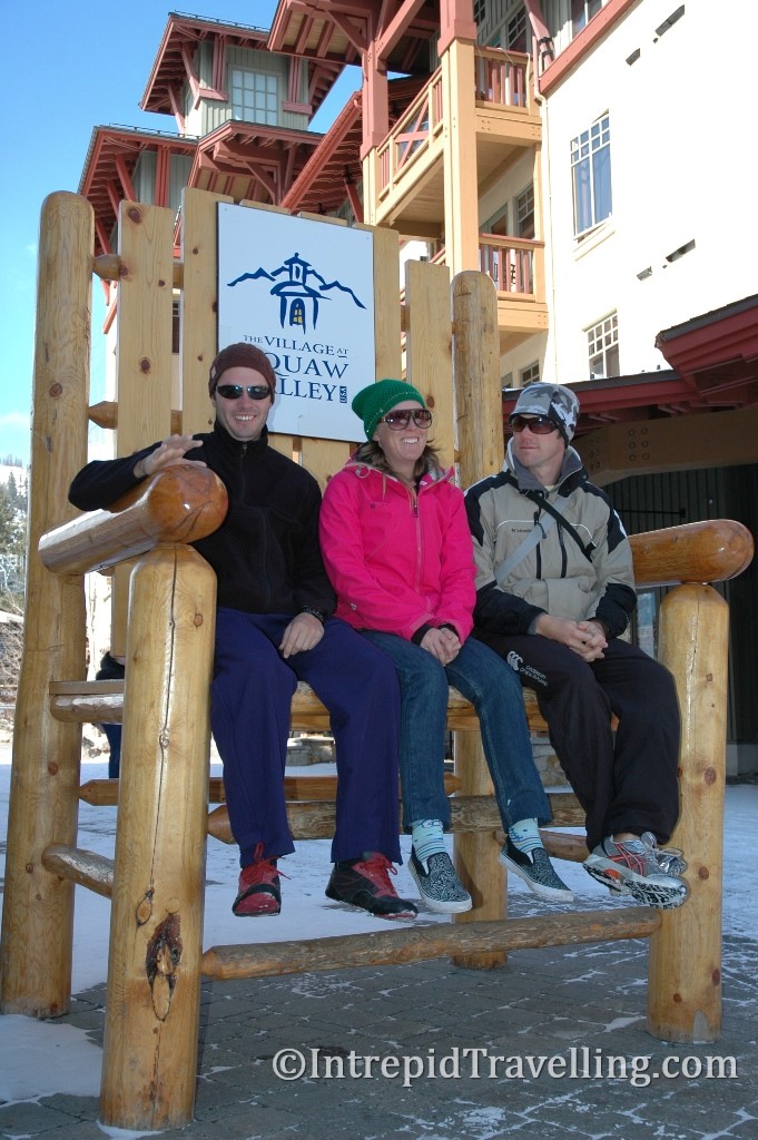
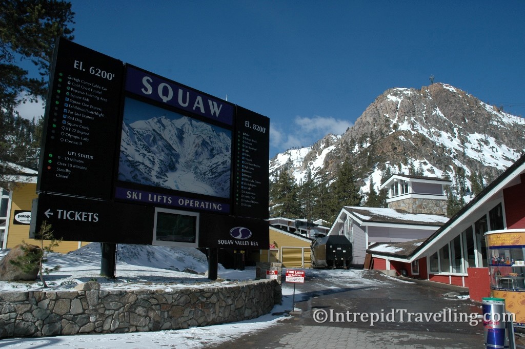
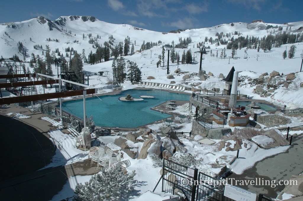
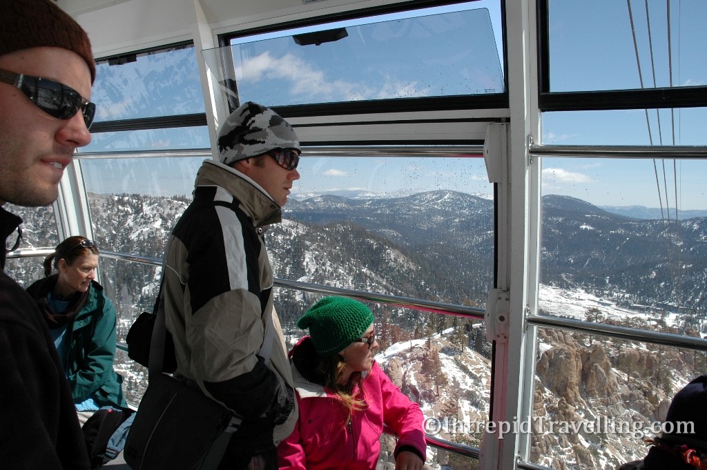
A six hour drive from Yosemite National Park is the huge ski resort & 1960 Olympic site called Squaw Valley. At 6,240 feet, the ski resort turned out to be way colder than expected; the day we spent there was around -10 degrees, but it was still early spring in the mountains. It even snowed overnight a bit, although the locals will say it was only a dusting, still, it made the cable car ride in the morning that much more impressive.

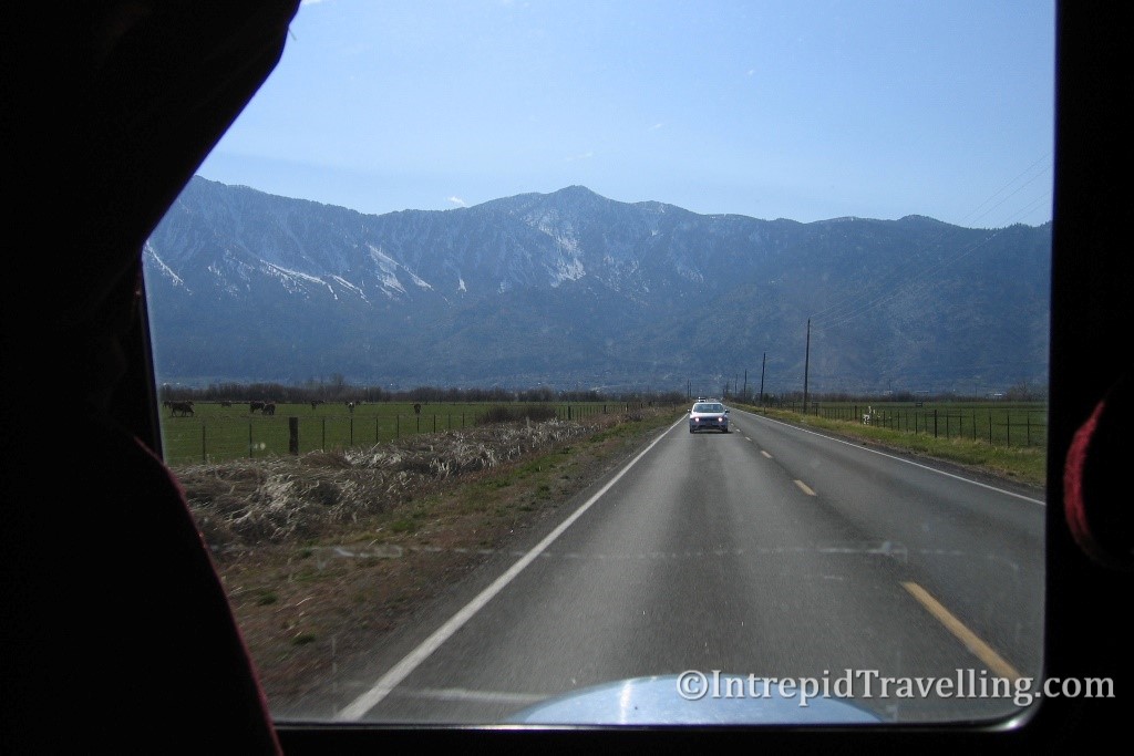
From Lake Tahoe we headed down the East side of the Sierra Nevada’s down highway 395, past Mono Lake which is a large, shallow saline soda lake which lacks an outlet causing high levels of salts to accumulate in the lake. One particularly interesting aspect of the Lake that is worth visiting, is the limestone Tufa columns that exist around the southern shores of the lake.

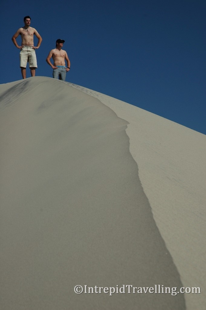
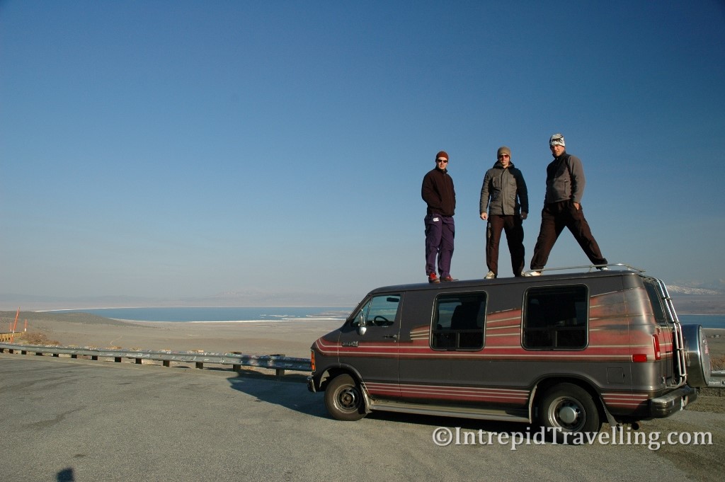
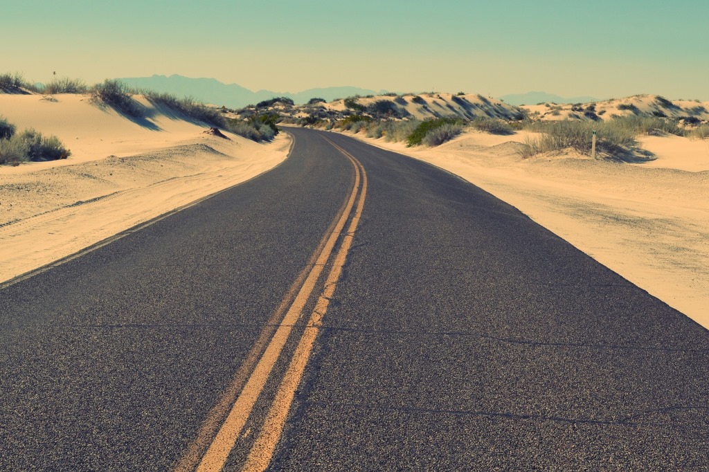
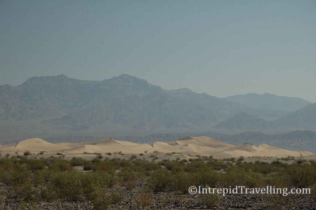
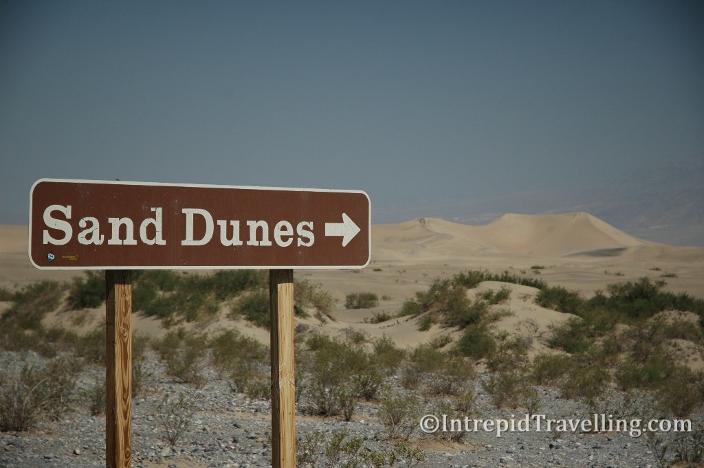
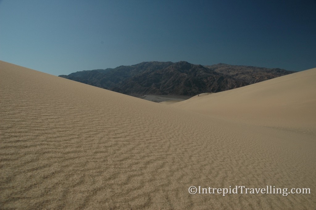
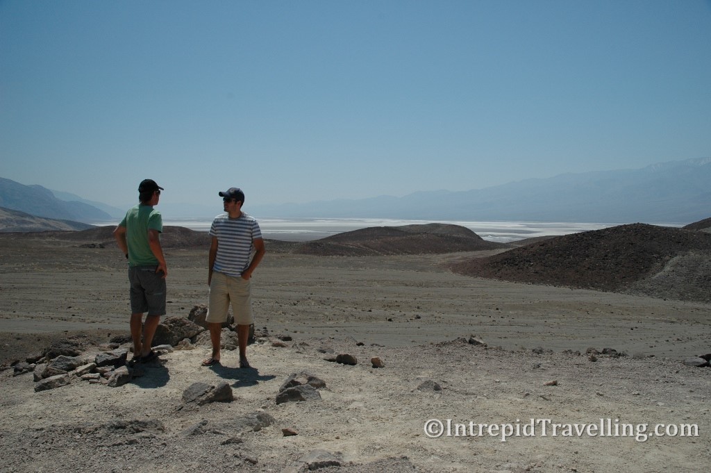
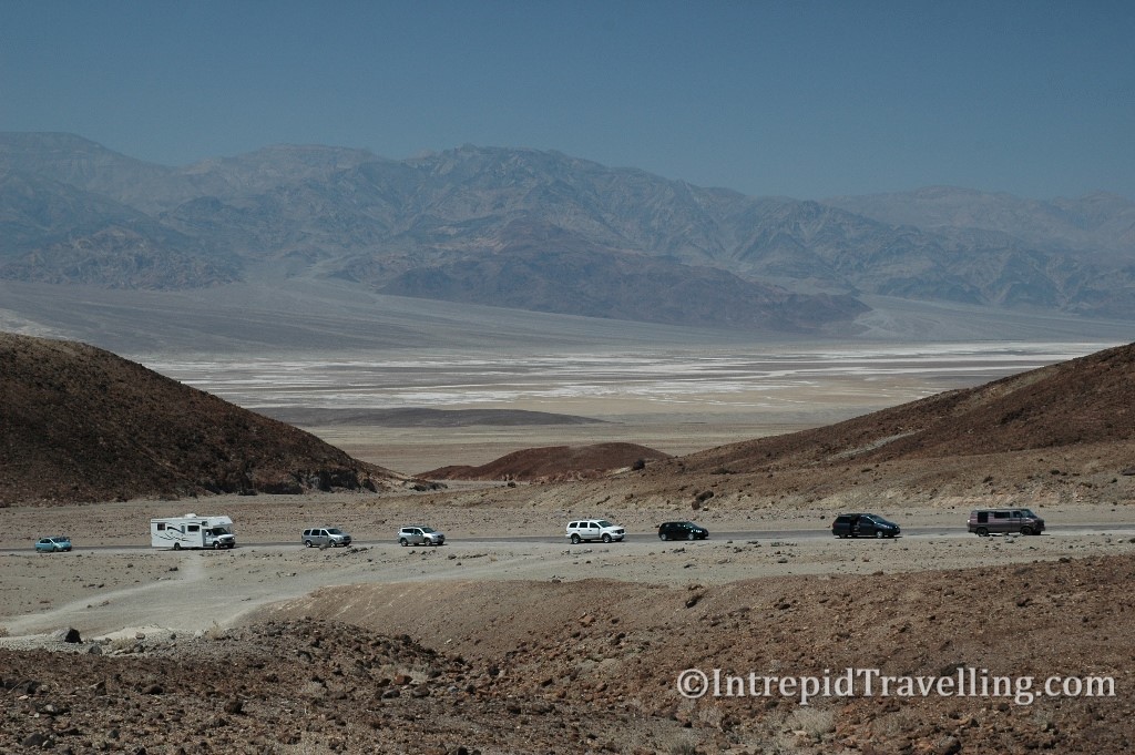
After another night in the Dodge on a hill overlooking Death Valley, with crème cheese on bagels for breakfast, we woke to a cracking day in one of the most extreme parts of the world. Death Valley only gets about two inches of rain a year and as a result there are very few plants, only the hardiest lizards and the odd crow. Near the center of the valley just beyond Stovepipe Wells are these random sand dunes called the Mesquite Flat Sand Dunes. They’re located in the middle of the valley and remain there due to the unusual convergence of different desert winds. They’re also perfect to frolic about in, although be warned, during summer temperatures in these parts can reach 45 degrees plus!
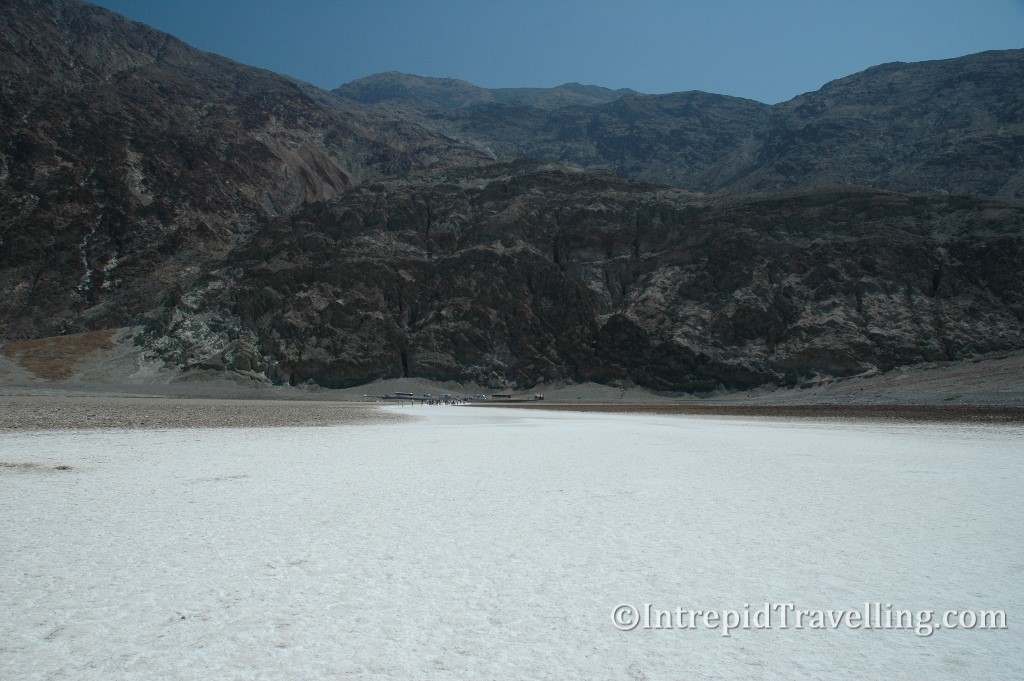
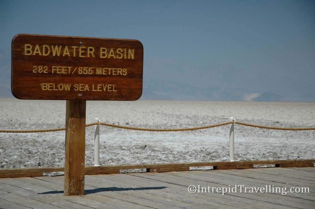
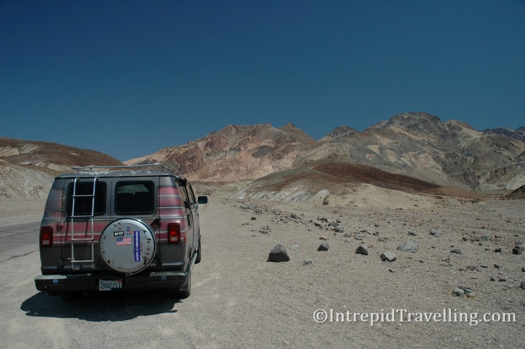
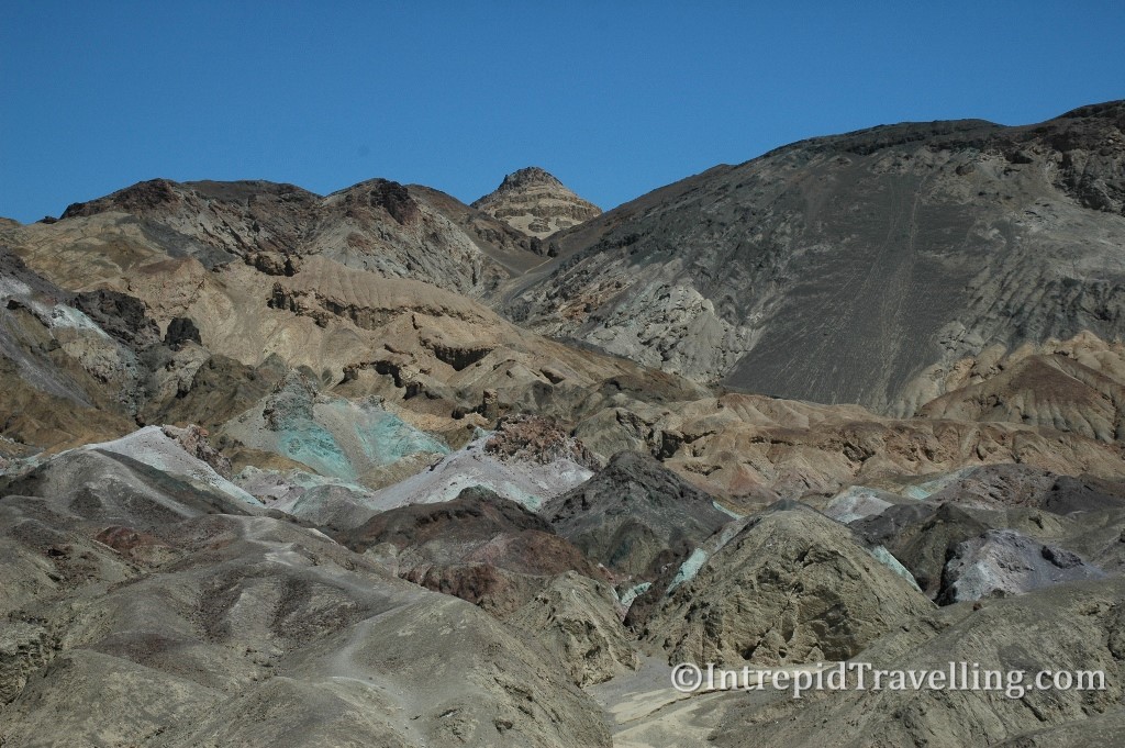
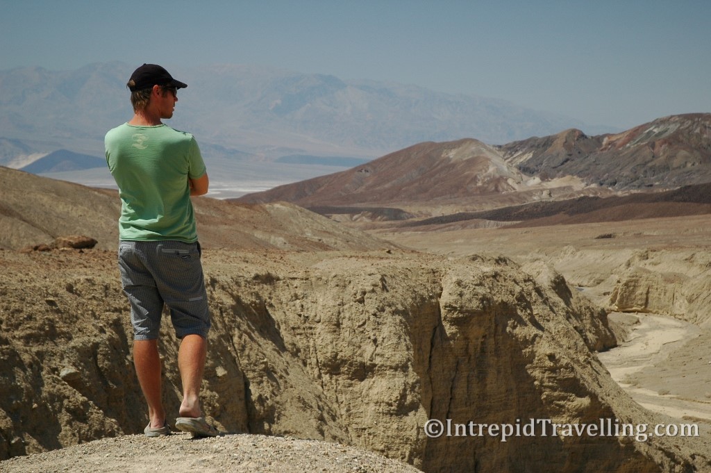
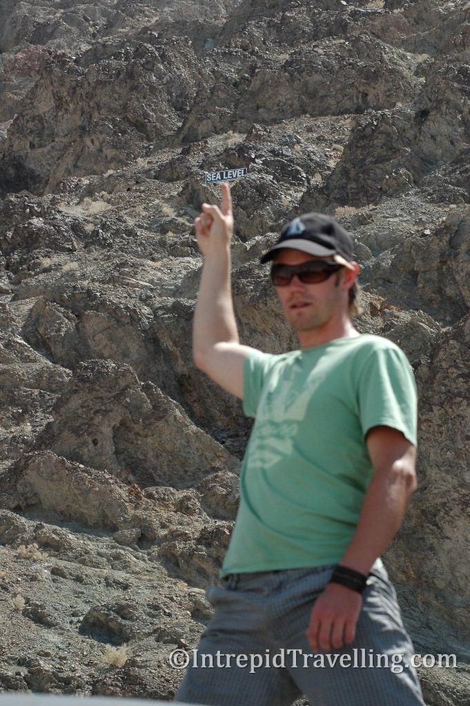
Further down highway 190 and past the aptly named Furnace Creek village (where in July 1913 the world’s hottest temperature of 56.7C was recorded) is an extraordinary place called Badwater Basin which is considered the lowest point in the North America (85.5m below sea level). We would make one last stop nearby to explore the Zabriskie Point formations which are the eroded remains of sediments from the Furnace Creek Lake which dried up 5 million years ago. The colours of the eroded various layers are quite remarkable.